|
| Mesoscale Discussion 1968 |
|
< Previous MD Next MD >
|

|
   Mesoscale Discussion 1968
   NWS Storm Prediction Center Norman OK
   0442 PM CDT Wed Aug 21 2024

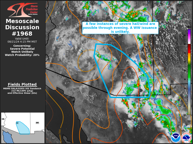
   Areas affected...portions of southern Arizona

   Concerning...Severe potential...Watch unlikely

   Valid 212142Z - 212315Z

   Probability of Watch Issuance...20 percent

   SUMMARY...A few instances of severe hail/wind gusts are possible
   through the remainder of the afternoon and evening. The severe
   threat should remain isolated, and a WW issuance is not anticipated.

   DISCUSSION...Pulse-cellular storms have been percolating in
   intensity over the past few hours with approach of peak afternoon
   heating. These storms are developing atop a low-level airmass
   characterized by steep low-level lapse rates. Given relatively weak
   vertical wind shear in place, storms will likely remain
   pulse-cellular in nature, though a few multicell clusters are
   possible. Severe gusts are the main threat, though a couple
   instances of large hail may also accompany the strongest,
   longest-lived storm cores.

   ..Squitieri/Gleason.. 08/21/2024

   ...Please see www.spc.noaa.gov for graphic product...

   ATTN...WFO...TWC...PSR...

   LAT...LON   31231125 32191173 33041210 33561201 33541125 33221064
               32690992 32150936 31550924 31230931 31231125
|
|
Top/All Mesoscale Discussions/Forecast Products/Home
|
|


