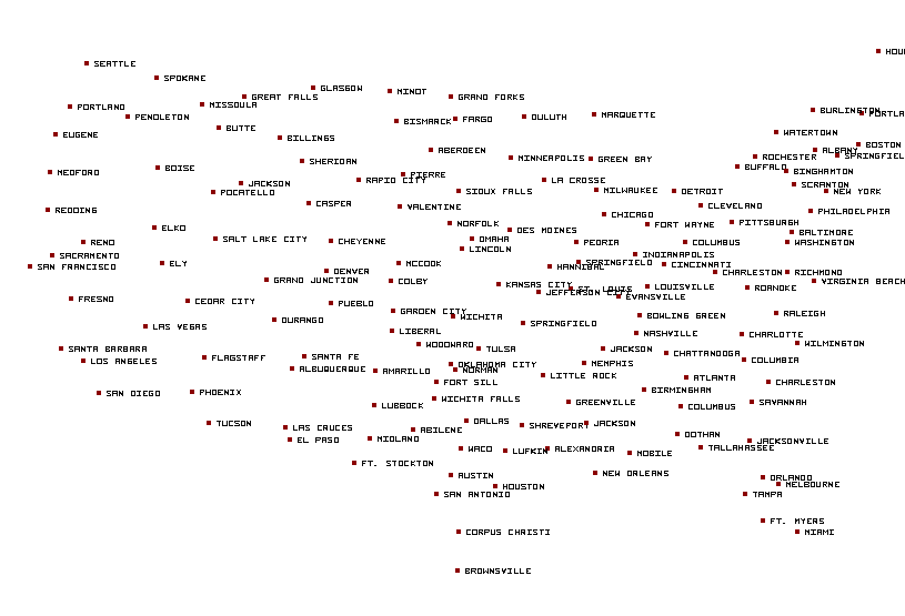
El Paso, TX...Las Cruces, NM...Roswell, NM...Alamogordo, NM...Clovis, NM...
ZCZC SPCFWDDY1 ALL
FNUS21 KWNS 181637
Day 1 Fire Weather Outlook
NWS Storm Prediction Center Norman OK
1137 AM CDT Fri Apr 18 2025
Valid 181700Z - 191200Z
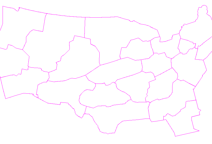
...CRITICAL FIRE WEATHER AREA FOR PARTS OF SOUTHERN/EASTERN NEW
MEXICO INTO FAR WEST TEXAS...
...1630 Update...
A faster southward progression of a backdoor cold front across the
Texas Panhandle as far south as US-70 has temporarily mitigated fire
weather concerns across the area. However, some northeastward
retreat and daytime mixing should allow dry southwest flow to return
to portions of northeastern New Mexico and the Texas Panhandle
supporting at least a brief period of Elevated fire weather
conditions to emerge within this zone. The Critical fire weather
threat will continue for much of southeastern New Mexico.
Eastern extent of Elevated highlights were trimmed along the Florida
Atlantic Coast as higher dewpoints/relative humidity accompany
southeasterly onshore flow. Farther inland however, Elevated fire
weather conditions expected with east-southeast winds of 10-15 mph
and relative humidity dropping into the 35-40 percent range this
afternoon amid increasingly dry fuels.
..Williams/Lyons.. 04/18/2025
.PREV DISCUSSION... /ISSUED 1245 AM CDT Fri Apr 18 2025/
...Synopsis...
An upper trough initially in the Great Basin will move towards the
Four Corners region today. A modest surface low in eastern New
Mexico into West Texas will develop during the day. A cold front
will continue to make southward progress into the southern Plains.
...New Mexico into West Texas...
Elevated to critical fire weather conditions are again expected
during the afternoon. Moderate mid-level flow across the Southwest
and southern Plains and a modest surface low along the Texas/New
Mexico border will drive 15-20 mph (up to 25 mph in the terrain)
surface winds by the afternoon. RH will be slightly higher than
Thursday on account of mid/upper-level clouds. Values of around 10%
may occur, but will occur on a relatively local basis. 15-20% will
be more common. The driest fuels will be in New Mexico and the
Trans-Pecos. Farther east in the Texas Panhandle/South Plains,
transitional/greening fuels will mitigate fire weather concerns even
with similarly dry and windy conditions.
...Florida...
Easterly winds of around 10 mph appear possible during the
afternoon. RH of 25-35% can be expected along the western Peninsula.
With dry fuels (current ERC data showing some locations above the
90th percentile), elevated fire weather is likely this afternoon.
...Please see www.spc.noaa.gov/fire for graphic product...
CLICK FOR DAY 1 FIREWX AREAL OUTLINE PRODUCT (KWNSPFWFD1)


 @NWSSPC

