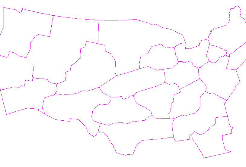
(All days are valid from 12 UTC - 12 UTC the following day)
Note: A severe weather area depicted in the Day 4-8 period indicates 15%, 30% or higher probability for severe thunderstorms within 25 miles of any point.
PREDICTABILITY TOO LOW is used to indicate severe storms may be possible based on some model scenarios. However, the location or occurrence of severe storms are in doubt due to: 1) large differences in the deterministic model solutions, 2) large spread in the ensemble guidance, and/or 3) minimal run-to-run continuity.
POTENTIAL TOO LOW means the threat for a regional area of organized severe storms appears unlikely (i.e., less than 15%) for the forecast day.
Forecast Discussion
   ZCZC SPCSWOD48 ALL
   ACUS48 KWNS 260733
   SPC AC 260733

   Day 4-8 Convective Outlook
   NWS Storm Prediction Center Norman OK
   0233 AM CDT Sat Oct 26 2024

   Valid 291200Z - 031200Z

   ...DISCUSSION...
   ...Tuesday/Day 4 and Wednesday/Day 5...
   An upper-level trough and an associated mid-level speed max are
   forecast to move across the Desert Southwest on Tuesday. Southwest
   mid-level flow is forecast ahead of the system from the southern
   High Plains northeastward into the upper Mississippi Valley.
   Moisture advection is forecast on Tuesday within a belt of strong
   low-level flow across the southern and central Plains. The moist
   airmass may reach the mid Missouri Valley by Tuesday evening where
   model forecasts develop scattered thunderstorms. A severe threat
   will be possible across parts of the mid Missouri Valley as the
   airmass moistens in response to large-scale ascent and relatively
   strong deep-layer shear. Some model forecasts suggest that
   convective development may be delayed until the late evening and
   overnight period. The late initiation would probably keep any severe
   threat isolated and marginal due the weakness in instability. Will
   not add a threat area at this time due to timing uncertainty
   concerning convective initiation.

   On Wednesday, convective development with greater coverage is
   forecast during the day from the southern Plains north-northeastward
   into the upper Mississippi Valley. A moist airmass combined with
   strong low-level flow and sufficient instability may result in a
   severe threat during the afternoon. At this time, the potential for
   severe storms appears conditional along much of the corridor from
   eastern Oklahoma northeastward into Wisconsin. A severe threat area
   could be needed as confidence increases over the next few model runs
   concerning the area with the greatest severe potential.

   ...Thursday/Day 6 to Saturday/Day 8...
   From Thursday to Saturday, multiple shortwave troughs are forecast
   to move across the northern tier of the United States. A moist
   airmass is forecast to remain in place from the southern Plains
   eastward into the Gulf Coast states. Isolated to scattered
   thunderstorm development will be possible over parts of this airmass
   each day. However, instability and large-scale ascent is forecast to
   remain relatively weak suggesting that any severe threat that
   develops could remain isolated and marginal.

   ..Broyles.. 10/26/2024

   CLICK TO GET WUUS48 PTSD48 PRODUCT


 @NWSSPC