|
| Mesoscale Discussion 36 |
|
< Previous MD Next MD >
|

|
   Mesoscale Discussion 0036
   NWS Storm Prediction Center Norman OK
   0108 AM CST Sun Jan 19 2025

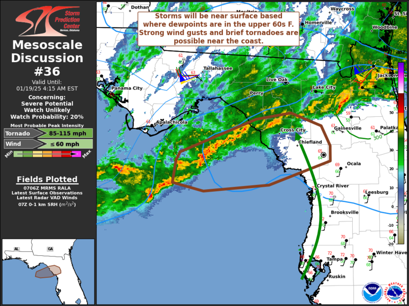
   Areas affected...Portions of western North Florida

   Concerning...Severe potential...Watch unlikely

   Valid 190708Z - 190915Z

   Probability of Watch Issuance...20 percent

   SUMMARY...Strong wind gusts and perhaps a brief tornado are
   possible. Areas near the coast with upper 60s F dewpoints will have
   the greatest risk. A watch is not currently anticipated.

   DISCUSSION...Storms continue to develop in a warm advection zone
   offshore near the Florida Big Bend. This activity is expected to
   continue slowly eastward during the overnight. Ahead of these
   storms, moisture continues to move northward. As dewpoints reach the
   upper 60s F, forecast soundings suggest storms will be at least near
   surface based. Strong low/mid-level winds will promote some storm
   organization and potential for low-level rotation. The main limiting
   factor will be buoyancy, particularly inland from the immediate
   coast. Based on KTLH radar imagery, the current band of storms has
   shown modest increase in intensity and some areas of weak low-level
   rotation. Strong wind gusts and perhaps a brief tornado would be
   possible should an organized storm move ashore coincident with upper
   60s F dewpoints.

   ..Wendt/Hart.. 01/19/2025

   ...Please see www.spc.noaa.gov for graphic product...

   ATTN...WFO...TBW...JAX...TAE...

   LAT...LON   29278465 29398459 29828347 29908294 29738249 29478236
               29268236 28968328 28888424 28988470 29278465
|
|
Top/All Mesoscale Discussions/Forecast Products/Home
|
|


