Storm Prediction Center Day 2 Fire Weather Outlook
Created: Thu Apr 3 19:38:02 UTC 2025 (
![]() |
| ![]() )
)
| |||||||||
Click for Day 2 FireWX Areal Outline Product (KWNSPFWFD2)
ZCZC SPCFWDDY2 ALL
FNUS22 KWNS 031936
Day 2 Fire Weather Outlook
NWS Storm Prediction Center Norman OK
0236 PM CDT Thu Apr 03 2025
Valid 041200Z - 051200Z
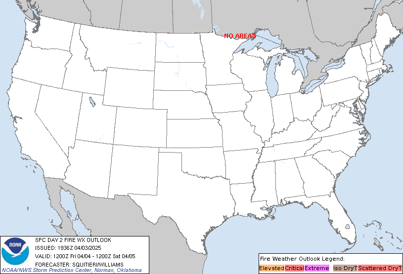
...NO CRITICAL AREAS...
Locally elevated conditions are possible in the lowlands of
south-central New Mexico under diminishing southwest flow aloft amid
residual surface dryness. Otherwise, the previous forecast (see
below) remains on track.
..Squitieri/Williams.. 04/03/2025
.PREV DISCUSSION... /ISSUED 0151 AM CDT Thu Apr 03 2025/
...Synopsis...
Downstream of a highly amplified large-scale trough centered on the
Southwest, a belt of strong south-southwesterly flow and embedded
midlevel speed maximum will shift eastward into TX. While a weak
surface cyclone and related breezy conditions will persist over
parts of southern/central NM, the meridional orientation and
displacement of the midlevel jet will limit fire-weather concerns
compared to previous days.
...Please see www.spc.noaa.gov/fire for graphic product...