Day 4-8 Severe Weather Outlook Issued on Jan 16, 2025
Updated: Thu Jan 16 09:07:03 UTC 2025
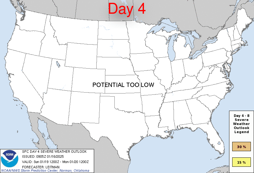
Day 4 Risk
Area (sq. mi.)
Area Pop.
Some Larger Population Centers in Risk Area
No Risk Areas Forecast
Day 5 Risk
Area (sq. mi.)
Area Pop.
Some Larger Population Centers in Risk Area
No Risk Areas Forecast
Day 6 Risk
Area (sq. mi.)
Area Pop.
Some Larger Population Centers in Risk Area
No Risk Areas Forecast
Day 7 Risk
Area (sq. mi.)
Area Pop.
Some Larger Population Centers in Risk Area
No Risk Areas Forecast
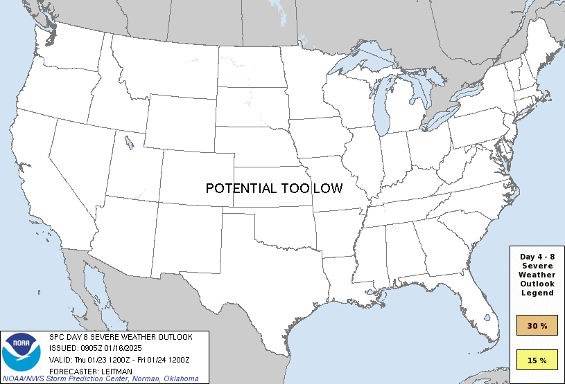
Day 8 Risk
Area (sq. mi.)
Area Pop.
Some Larger Population Centers in Risk Area
No Risk Areas Forecast
D4
Sun, Jan 19, 2025 - Mon, Jan 20, 2025
D7
Wed, Jan 22, 2025 - Thu, Jan 23, 2025
D5
Mon, Jan 20, 2025 - Tue, Jan 21, 2025
D8
Thu, Jan 23, 2025 - Fri, Jan 24, 2025
D6
Tue, Jan 21, 2025 - Wed, Jan 22, 2025
(All days are valid from 12 UTC - 12 UTC the following day)
Note: A severe weather area depicted in the Day 4-8 period indicates 15%, 30% or higher probability for severe thunderstorms within 25 miles of any point.
PREDICTABILITY TOO LOW is used to indicate severe storms may be possible based on some model scenarios. However, the location or occurrence of severe storms are in doubt due to: 1) large differences in the deterministic model solutions, 2) large spread in the ensemble guidance, and/or 3) minimal run-to-run continuity.
POTENTIAL TOO LOW means the threat for a regional area of organized severe storms appears unlikely (i.e., less than 15%) for the forecast day.
Forecast Discussion
   ZCZC SPCSWOD48 ALL
   ACUS48 KWNS 160905
   SPC AC 160905

   Day 4-8 Convective Outlook
   NWS Storm Prediction Center Norman OK
   0305 AM CST Thu Jan 16 2025

   Valid 191200Z - 241200Z

   ...DISCUSSION...
   A cold front will move offshore the Atlantic and Gulf coasts on Day
   4/Sun. In the wake of the front, strong surface high pressure will
   envelop most of the CONUS for much of the forecast period. This
   Arctic airmass will bring below normal temperatures for a large part
   of the country, resulting in dry/stable conditions and little
   potential for thunderstorms.

   ..Leitman.. 01/16/2025

   CLICK TO GET WUUS48 PTSD48 PRODUCT


 @NWSSPC