Day 4-8 Severe Weather Outlook Issued on Jan 15, 2025
Updated: Wed Jan 15 09:04:02 UTC 2025
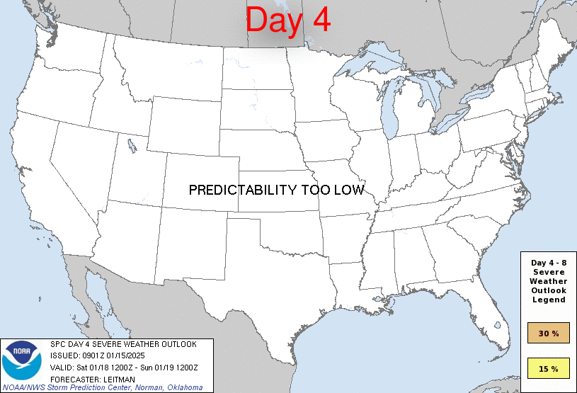
Day 4 Risk
Area (sq. mi.)
Area Pop.
Some Larger Population Centers in Risk Area
No Risk Areas Forecast
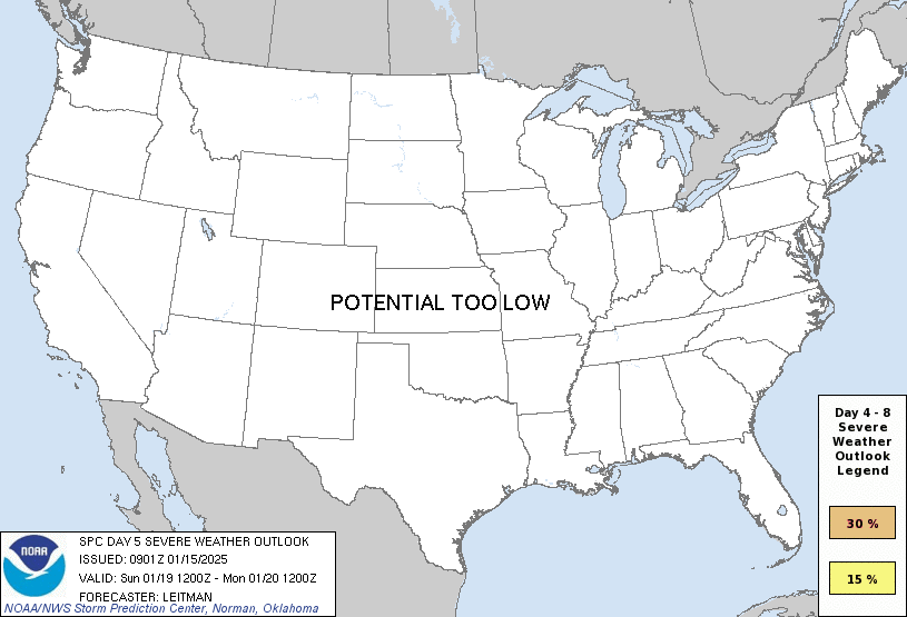
Day 5 Risk
Area (sq. mi.)
Area Pop.
Some Larger Population Centers in Risk Area
No Risk Areas Forecast
Day 6 Risk
Area (sq. mi.)
Area Pop.
Some Larger Population Centers in Risk Area
No Risk Areas Forecast
Day 7 Risk
Area (sq. mi.)
Area Pop.
Some Larger Population Centers in Risk Area
No Risk Areas Forecast
Day 8 Risk
Area (sq. mi.)
Area Pop.
Some Larger Population Centers in Risk Area
No Risk Areas Forecast
D4
Sat, Jan 18, 2025 - Sun, Jan 19, 2025
D7
Tue, Jan 21, 2025 - Wed, Jan 22, 2025
D5
Sun, Jan 19, 2025 - Mon, Jan 20, 2025
D8
Wed, Jan 22, 2025 - Thu, Jan 23, 2025
D6
Mon, Jan 20, 2025 - Tue, Jan 21, 2025
(All days are valid from 12 UTC - 12 UTC the following day)
Note: A severe weather area depicted in the Day 4-8 period indicates 15%, 30% or higher probability for severe thunderstorms within 25 miles of any point.
PREDICTABILITY TOO LOW is used to indicate severe storms may be possible based on some model scenarios. However, the location or occurrence of severe storms are in doubt due to: 1) large differences in the deterministic model solutions, 2) large spread in the ensemble guidance, and/or 3) minimal run-to-run continuity.
POTENTIAL TOO LOW means the threat for a regional area of organized severe storms appears unlikely (i.e., less than 15%) for the forecast day.
Forecast Discussion
   ZCZC SPCSWOD48 ALL
   ACUS48 KWNS 150901
   SPC AC 150901

   Day 4-8 Convective Outlook
   NWS Storm Prediction Center Norman OK
   0301 AM CST Wed Jan 15 2025

   Valid 181200Z - 231200Z

   ...DISCUSSION...
   A weak surface low and attendant cold front is forecast to sweep
   across the Southeast on Day 4/Sat. Ahead of this feature, low-level
   moisture will increase along the central and northeast Gulf coast
   vicinity, with 60s F dewpoints generally remaining within the I-10
   corridor. More modest moisture is possible across a broader area
   from central MS/AL into GA. While mid/upper flow will be quite
   strong, thermodynamics will largely limit a greater severe risk.
   Nevertheless, isolated thunderstorms, and perhaps a couple of strong
   storms, are possible near the immediate Gulf coast. Potential
   remains too low however to include 15 percent probabilities at this
   time.

   By Day 5/Sun, the aforementioned cold front will move offshore.
   Strong Arctic high pressure will build southeast and east across
   much of the CONUS east of the Rockies through the end of the
   forecast period, resulting in a cold, dry, and stable airmass.

   ..Leitman.. 01/15/2025

   CLICK TO GET WUUS48 PTSD48 PRODUCT


 @NWSSPC