Day 4-8 Severe Weather Outlook Issued on Jan 14, 2025
Updated: Tue Jan 14 08:58:03 UTC 2025
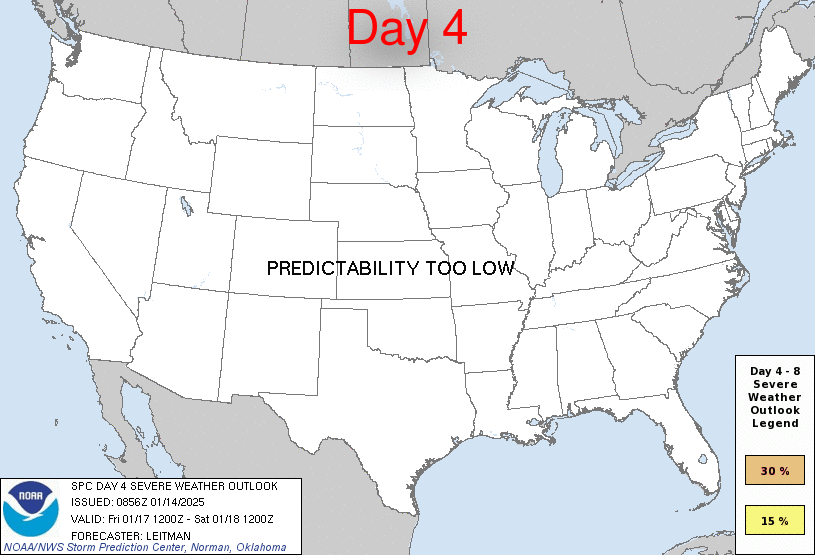
Day 4 Risk
Area (sq. mi.)
Area Pop.
Some Larger Population Centers in Risk Area
No Risk Areas Forecast
Day 5 Risk
Area (sq. mi.)
Area Pop.
Some Larger Population Centers in Risk Area
No Risk Areas Forecast
Day 6 Risk
Area (sq. mi.)
Area Pop.
Some Larger Population Centers in Risk Area
No Risk Areas Forecast
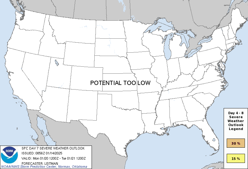
Day 7 Risk
Area (sq. mi.)
Area Pop.
Some Larger Population Centers in Risk Area
No Risk Areas Forecast
Day 8 Risk
Area (sq. mi.)
Area Pop.
Some Larger Population Centers in Risk Area
No Risk Areas Forecast
D4
Fri, Jan 17, 2025 - Sat, Jan 18, 2025
D7
Mon, Jan 20, 2025 - Tue, Jan 21, 2025
D5
Sat, Jan 18, 2025 - Sun, Jan 19, 2025
D8
Tue, Jan 21, 2025 - Wed, Jan 22, 2025
D6
Sun, Jan 19, 2025 - Mon, Jan 20, 2025
(All days are valid from 12 UTC - 12 UTC the following day)
Note: A severe weather area depicted in the Day 4-8 period indicates 15%, 30% or higher probability for severe thunderstorms within 25 miles of any point.
PREDICTABILITY TOO LOW is used to indicate severe storms may be possible based on some model scenarios. However, the location or occurrence of severe storms are in doubt due to: 1) large differences in the deterministic model solutions, 2) large spread in the ensemble guidance, and/or 3) minimal run-to-run continuity.
POTENTIAL TOO LOW means the threat for a regional area of organized severe storms appears unlikely (i.e., less than 15%) for the forecast day.
Forecast Discussion
   ZCZC SPCSWOD48 ALL
   ACUS48 KWNS 140856
   SPC AC 140856

   Day 4-8 Convective Outlook
   NWS Storm Prediction Center Norman OK
   0256 AM CST Tue Jan 14 2025

   Valid 171200Z - 221200Z

   ...DISCUSSION...
   Thunderstorm potential will increase on Day 4/Fri into Day 5/Sat
   from roughly east Texas into the Lower MS Valley/central Gulf Coast
   vicinity. An upper shortwave trough will develop eastward across the
   southern Plains and Southeast during this time, before a deeper
   large-scale trough quickly follows on its heels. A surface low will
   deepen over OK/TX during the day Friday, arriving over the Lower MS
   Valley by Day 5/Sat morning. Southerly low-level flow ahead of this
   system will allow for northward transport of Gulf moisture across
   east TX and the ArkLaTex vicinity. However, 60s F dewpoints are
   expected to remain fairly far south across southeast TX into
   southern LA through early Saturday. Furthermore, the timing of the
   upper trough/surface low coincident with moisture return will occur
   overnight. Forecast soundings show strong low-level inhibition, with
   only weak elevated instability. While vertical shear will be strong,
   supporting some potential storm organization, overall thermodynamic
   profiles appear unlikely to support more than isolated strong
   storms. Thunderstorm potential could shift east toward the central
   Gulf coast on Day 5/Sat, but the upper trough is forecast to weaken
   and higher-quality moisture will remain very near the coast. Similar
   lackluster thermodynamic profiles as those expected on Day 4/Fri
   indicate severe potential will likely remain limited.

   Strong surface high pressure and an arctic airmass will settle
   across much of the country during the second half of the forecast
   period, ending thunderstorm potential through early next week.

   ..Leitman.. 01/14/2025

   CLICK TO GET WUUS48 PTSD48 PRODUCT


 @NWSSPC