Day 4-8 Severe Weather Outlook Issued on Jan 13, 2025
Updated: Mon Jan 13 09:00:03 UTC 2025
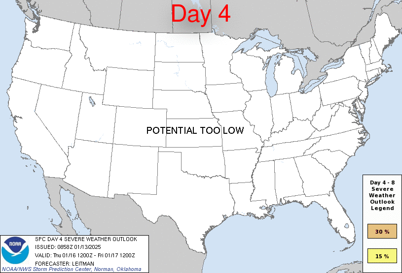
Day 4 Risk
Area (sq. mi.)
Area Pop.
Some Larger Population Centers in Risk Area
No Risk Areas Forecast
Day 5 Risk
Area (sq. mi.)
Area Pop.
Some Larger Population Centers in Risk Area
No Risk Areas Forecast
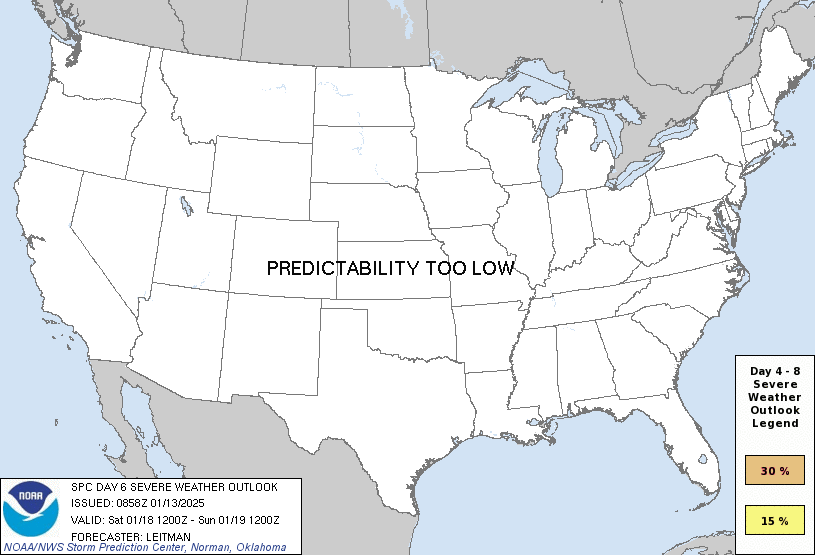
Day 6 Risk
Area (sq. mi.)
Area Pop.
Some Larger Population Centers in Risk Area
No Risk Areas Forecast
Day 7 Risk
Area (sq. mi.)
Area Pop.
Some Larger Population Centers in Risk Area
No Risk Areas Forecast
Day 8 Risk
Area (sq. mi.)
Area Pop.
Some Larger Population Centers in Risk Area
No Risk Areas Forecast
D4
Thu, Jan 16, 2025 - Fri, Jan 17, 2025
D7
Sun, Jan 19, 2025 - Mon, Jan 20, 2025
D5
Fri, Jan 17, 2025 - Sat, Jan 18, 2025
D8
Mon, Jan 20, 2025 - Tue, Jan 21, 2025
D6
Sat, Jan 18, 2025 - Sun, Jan 19, 2025
(All days are valid from 12 UTC - 12 UTC the following day)
Note: A severe weather area depicted in the Day 4-8 period indicates 15%, 30% or higher probability for severe thunderstorms within 25 miles of any point.
PREDICTABILITY TOO LOW is used to indicate severe storms may be possible based on some model scenarios. However, the location or occurrence of severe storms are in doubt due to: 1) large differences in the deterministic model solutions, 2) large spread in the ensemble guidance, and/or 3) minimal run-to-run continuity.
POTENTIAL TOO LOW means the threat for a regional area of organized severe storms appears unlikely (i.e., less than 15%) for the forecast day.
Forecast Discussion
   ZCZC SPCSWOD48 ALL
   ACUS48 KWNS 130858
   SPC AC 130858

   Day 4-8 Convective Outlook
   NWS Storm Prediction Center Norman OK
   0258 AM CST Mon Jan 13 2025

   Valid 161200Z - 211200Z

   ...DISCUSSION...
   Shortwave upper ridging will move over the southern Plains vicinity
   on Day 4/Thu as shortwave trough develops eastward over the
   Southwest. While surface lee troughing will develop over the High
   Plains as this occurs, high pressure will persist across eastern
   portions of the Plains into the Southeast. This will keep Gulf
   moisture offshore and thunderstorm potential is low on Day 4/Thu.

   Forecast guidance continues to have quite a bit of spread heading
   into the weekend (Days 5-6/Fri-Sat). In general, the Southwest upper
   trough is expected migrate eastward into the southern Plains on
   Friday, and across the Mid-South and Southeast on Saturday. However,
   forecast guidance shows a fairly low-amplitude trough despite strong
   mid/upper southwesterly flow streaming over the Plains into the
   Southeast. A surface low should develop over the southern High
   Plains and migrate east through weekend, allowing for northward
   transport of Gulf moisture from east TX into the Lower MS Valley and
   central/eastern Gulf coast vicinity. Guidance varies quite a bit in
   the northward extent of moisture return. The ECMWF suite of guidance
   is a bit faster and further north compared to the GFS model suite.
   Furthermore, SPC and NSSL machine learning guidance has trended
   lower with severe potential compared to yesterday. While some severe
   potential is possible from east TX into the central Gulf coast
   Friday evening into Saturday, confidence remains too low to
   delineate unconditional Slight risk probabilities at this time.

   By Day 7/Sun, a cold front will move offshore the Atlantic coast and
   deep into the Gulf of Mexico. Strong surface high pressure and an
   arctic airmass will overspread much of the CONUS, bringing very
   cold, dry/stable conditions into early next week.

   ..Leitman.. 01/13/2025

   CLICK TO GET WUUS48 PTSD48 PRODUCT


 @NWSSPC