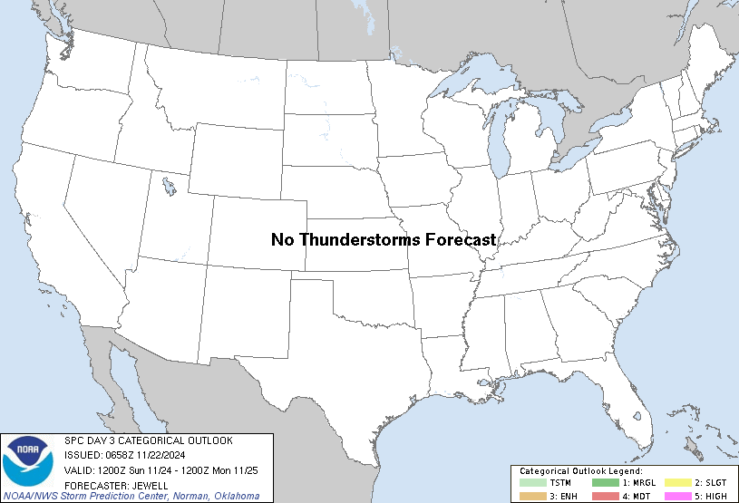
   SPC AC 210748

   Day 3 Convective Outlook
   NWS Storm Prediction Center Norman OK
   0148 AM CST Thu Nov 21 2024

   Valid 231200Z - 241200Z

   ...NO THUNDERSTORM AREAS FORECAST...

   ...SUMMARY...
   Thunderstorms appear unlikely across the USA on Saturday.

   ...Synopsis...
   A temporary/weakening upper ridge will exist over the Plains, with a
   departing trough over the Northeast and a broad region of
   west/southwest flow aloft over the West. By 12Z Sunday, this ridge
   will all but disappear due in part to an upper wave from MT into ND,
   and continued height falls across the West.

   The beginnings of moisture return will develop over TX in response
   to lower pressure over the Plains, with 50s F dewpoints primarily
   away from coast. Little if any instability is forecast across the
   entire CONUS through the period, and as such thunderstorms are not
   expected.

   ..Jewell.. 11/21/2024

   NOTE: THE NEXT DAY 3 OUTLOOK IS SCHEDULED BY 1930Z
|

