Jan 18, 2025 0830 UTC Day 3 Severe Thunderstorm Outlook
Updated: Sat Jan 18 05:18:56 UTC 2025 (20250118 0830Z Day 3 shapefile | 20250118 0830Z Day 3 KML)
Probabilistic to Categorical Outlook Conversion Table
Categorical Graphic
20250118 0830 UTC Day 3 Outlook Graphic
Day 3 Risk Area (sq. mi.) Area Pop. Some Larger Population Centers in Risk Area
No Risk Areas Forecast
Probabilistic Graphic
20250118 0830 UTC Day Probabilitic Graphic
Probability of severe weather within 25 miles of a point.
Hatched Area: 10% or greater probability of significant severe within 25 miles of a point.
Day 3 Prob. Risk Area (sq. mi.) Area Pop. Some Larger Population Centers in Risk Area
No Risk Areas Forecast
   SPC AC 180518

   Day 3 Convective Outlook  
   NWS Storm Prediction Center Norman OK
   1118 PM CST Fri Jan 17 2025

   Valid 201200Z - 211200Z

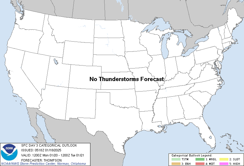
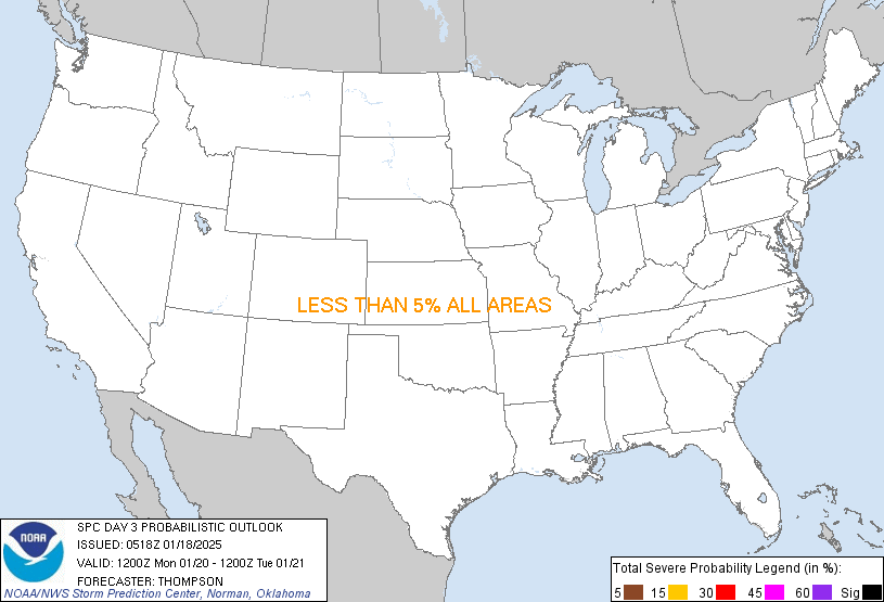
   ...NO THUNDERSTORM AREAS FORECAST...

   ...SUMMARY...
   Thunderstorms are not expected Monday into early Tuesday morning.

   ...Synopsis...
   A large-scale, mid-upper trough will dominate the CONUS, especially
   from the Rockies eastward.  An associated arctic air mass will have
   enveloped the majority of the CONUS by Monday, including the
   southeast Atlantic and Gulf coasts.  Thus, moisture/buoyancy will be
   negligible inland, with no appreciable threat for deep
   convection/lightning.

   ..Thompson.. 01/18/2025

   CLICK TO GET WUUS03 PTSDY3 PRODUCT

   NOTE: THE NEXT DAY 3 OUTLOOK IS SCHEDULED BY 1930Z