Probability of a tornado within 25 miles of a point. Hatched Area: 10% or greater probability of EF2 - EF5 tornadoes within 25 miles of a point.
Day 2 Tornado Risk
Area (sq. mi.)
Area Pop.
Some Larger Population Centers in Risk Area
No Risk Areas Forecast
Probabilistic Damaging Wind Graphic
Probability of damaging thunderstorm winds or wind gusts of 50 knots or higher within 25 miles of a point. Hatched Area: 10% of greater probability of wind gusts 65 knots or greater within 25 miles of a point.
Day 2 Wind Risk
Area (sq. mi.)
Area Pop.
Some Larger Population Centers in Risk Area
No Risk Areas Forecast
Probabilistic Large Hail Graphic
Probability of hail 1" or larger within 25 miles of a point. Hatched Area: 10% or greater probability of hail 2" or larger within 25 miles of a point.
Day 2 Hail Risk
Area (sq. mi.)
Area Pop.
Some Larger Population Centers in Risk Area
No Risk Areas Forecast
SPC AC 191718
Day 2 Convective Outlook
NWS Storm Prediction Center Norman OK
1118 AM CST Sun Jan 19 2025
Valid 201200Z - 211200Z
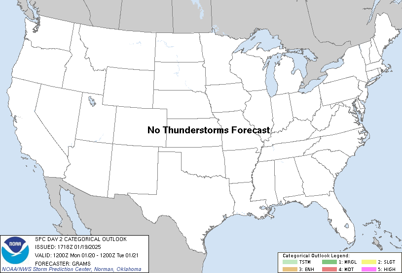
...NO THUNDERSTORM AREAS FORECAST...
...SUMMARY...
Thunderstorms are not forecast on Monday or Monday night.
...Synopsis...
Thunderstorm potential is negligible across the CONUS on Monday
through Monday night. One exception could be from the Middle TX to
southwest LA Gulf Coast where weak elevated convection should
develop early morning Tuesday. This will occur with strengthening
warm-moist advection centered on 750-700 mb, downstream of a
positive-tilt mid/upper-level longwave trough. Some CAM/non-CAM 12Z
forecast soundings, most aggressively from the NAM, depict scant
elevated buoyancy developing amid a plume of initially steep
mid-level lapse rates. With thermodynamic profiles suggestive of a
predominant PTYPE of sleet at the surface, these potentially
mixed-phase elevated parcels could support a few lightning flashes.
While thunderstorm probabilities may be nonzero, they appear to be
less than 10 percent at this time.
..Grams.. 01/19/2025
CLICK TO GET WUUS02 PTSDY2 PRODUCT
NOTE: THE NEXT DAY 2 OUTLOOK IS SCHEDULED BY 0700Z