SPC AC 210047
Day 1 Convective Outlook
NWS Storm Prediction Center Norman OK
0647 PM CST Mon Jan 20 2025
Valid 210100Z - 211200Z
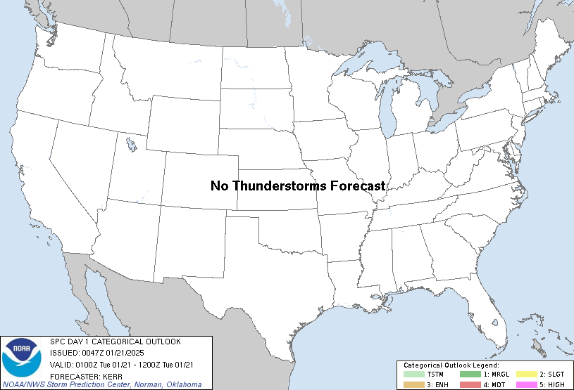
...NO THUNDERSTORM AREAS FORECAST...
...SUMMARY...
The risk for thunderstorms appears negligible across the U.S.
tonight.
...01Z Update...
Cold surface ridging has become entrenched across much of the
interior U.S. through much of the Gulf Basin and offshore western
Atlantic coastal waters. This will become reinforced overnight
across the southern Great Plains through middle and southern
Atlantic Seaboard, downstream of a pair of digging short wave
troughs, where confluent mid-level flow will be maintained to the
northwest of a prominent ridge centered over the subtropical western
Atlantic.
In advance of the southwestern of the two perturbations digging
within positively tilted larger scale troughing, currently across
the Southwest and adjacent international border vicinity, warm
thermal and moisture advection is ongoing above the cold
surface-based air across the western Gulf of Mexico into
northwestern Gulf coast vicinity. This is supporting increasing
precipitation offshore of the lower Texas coast, which is forecast
to expand northeastward and eastward across much of the northwestern
Gulf/Gulf Coast region by late tonight.
Model forecast soundings continue to suggest that elevated
destabilization, rooted within the 800-700 mb layer, is possible
ahead of developing weak surface troughing as far northwest as the
upper Texas coast by 12Z Tuesday. The NAM soundings, in particular,
continue to indicate profiles which could become supportive of
convection capable of producing lightning. However, based on the
objective calibrated guidance of both the NCEP SREF and HREF,
probabilities for this still appear less than the minimum 10 percent
threshold for a categorical thunder area.
..Kerr.. 01/21/2025
CLICK TO GET WUUS01 PTSDY1 PRODUCT
NOTE: THE NEXT DAY 1 OUTLOOK IS SCHEDULED BY 0600Z
|