Probability of a tornado within 25 miles of a point. Hatched Area: 10% or greater probability of EF2 - EF5 tornadoes within 25 miles of a point.
Day 1 Tornado Risk
Area (sq. mi.)
Area Pop.
Some Larger Population Centers in Risk Area
No Risk Areas Forecast
Probabilistic Damaging Wind Graphic
Probability of damaging thunderstorm winds or wind gusts of 50 knots or higher within 25 miles of a point. Hatched Area: 10% of greater probability of wind gusts 65 knots or greater within 25 miles of a point.
Day 1 Wind Risk
Area (sq. mi.)
Area Pop.
Some Larger Population Centers in Risk Area
No Risk Areas Forecast
Probabilistic Large Hail Graphic
Probability of hail 1" or larger within 25 miles of a point. Hatched Area: 10% or greater probability of hail 2" or larger within 25 miles of a point.
Day 1 Hail Risk
Area (sq. mi.)
Area Pop.
Some Larger Population Centers in Risk Area
No Risk Areas Forecast
SPC AC 201941
Day 1 Convective Outlook
NWS Storm Prediction Center Norman OK
0141 PM CST Mon Jan 20 2025
Valid 202000Z - 211200Z
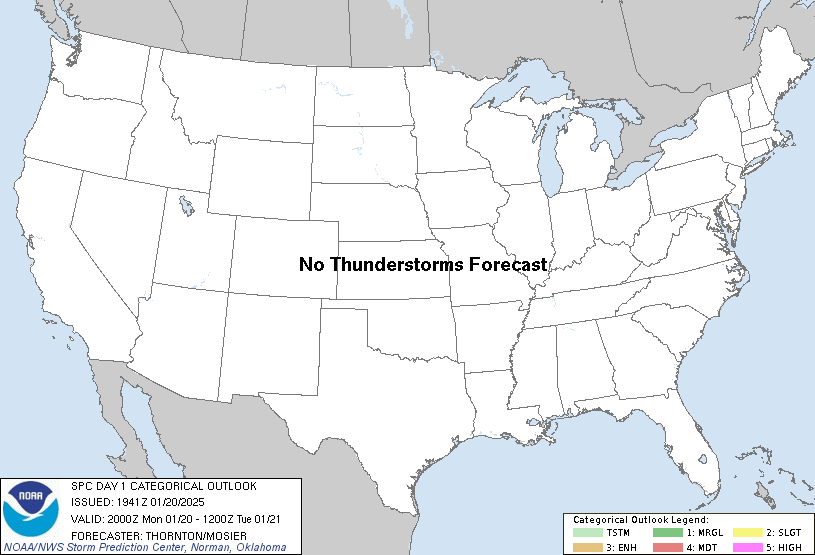
...NO THUNDERSTORM AREAS FORECAST...
...SUMMARY...
No thunderstorms are expected across the U.S. through tonight.
...20z Update...
No changes are needed to the D1 Convective Outlook. See previous
discussion below for more information.
..Thornton/Mosier.. 01/20/2025
.PREV DISCUSSION... /ISSUED 1028 AM CST Mon Jan 20 2025/
...Synopsis...
Another surge of cold air is anticipated across the CONUS,
reinforcing the polar airmass already in place. This will result in
a maintenance of dry and stable conditions, with no thunderstorms
anticipated.
Some deeper convection is possible late tonight/early tomorrow along
the middle/upper TX Coast as warm-air advection strengthens
throughout the warm sector of surface low developing over the
western Gulf of Mexico. Model forecast soundings have thermodynamic
profiles with scant (and shallow) buoyancy between around 800 to 500
mb. These profiles also suggest sleet will be the predominant
precipitation type, with mixed-phase parcels combining with the
modest buoyancy to support a few lightning flashes. Even so, the
overall thunderstorm probabilities are still expected to be less
than 10 percent.
CLICK TO GET WUUS01 PTSDY1 PRODUCT
NOTE: THE NEXT DAY 1 OUTLOOK IS SCHEDULED BY 0100Z