   SPC AC 200501

   Day 1 Convective Outlook
   NWS Storm Prediction Center Norman OK
   1101 PM CST Sun Jan 19 2025

   Valid 201200Z - 211200Z

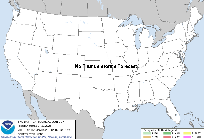
   ...NO THUNDERSTORM AREAS FORECAST...

   ...SUMMARY...
   The risk for thunderstorms appears negligible across the U.S. today
   through tonight.

   ...Discussion...
   A significant short wave perturbation is forecast to continue
   progressing through the crest of blocking larger-scale mid-level
   ridging centered over the northeastern Pacific, eventually digging
   across the Canadian Rockies and adjacent Pacific Northwest by late
   tonight.  Downstream, short wave ridging likely will overspread the
   Canadian Prairies, northern U.S. Rockies and Great Basin, in the
   wake of digging short wave troughing across the northern Great
   Plains through upper Mississippi Valley/Great Lakes region and
   across the Southwest/southern Rockies and adjacent international
   border vicinity.  Farther east, it appears that strong, confluent
   southwesterly mid/upper flow will be maintained between a prominent
   ridge centered over the subtropical western Atlantic and a broad,
   cold cyclonic circulation centered east-northeast of Hudson Bay.

   Beneath this regime, surface troughing likely will develop and
   deepen across the Canadian Prairies into the lee of the northern
   U.S. Rockies.  Otherwise, though its center is forecast to shift
   from the lee of the northern through southern Rockies, expansive
   cold surface ridging will generally be maintained across much of the
   interior U.S, with another high center building across the Allegheny
   Mountains/Mid Atlantic vicinity.  The frontal zone demarcating the
   leading edge of this cold intrusion probably will begin to stall and
   weaken east/southeast of the Florida Peninsula into the southeastern
   Gulf of Mexico, well in the wake of a rapidly deepening cyclone
   migrating across and northeast of the Canadian Maritimes.

   ...Texas coastal areas...
   Models do indicate that weak troughing will form on the southern
   flank of the cold surface ridge, from the southwestern toward
   northwestern Gulf of Mexico today through tonight.  Any associated
   boundary-layer destabilization likely will remain focused well
   offshore of the lower Texas coast.  However, elevated moisture
   return may contribute to weak CAPE rooted around the 700 mb level as
   far north as the upper Texas coast by 12Z Tuesday.  RAP and NAM
   forecast soundings suggest that it might not be out of the question
   that convection, supported by ascent associated with
   lower/mid-tropospheric warm advection, might become capable of
   producing some lightning.  But, due to lingering uncertainties,
   thunderstorm probabilities will be maintained at less than 10
   percent, at least for now.

   ..Kerr.. 01/20/2025

   CLICK TO GET WUUS01 PTSDY1 PRODUCT

   NOTE: THE NEXT DAY 1 OUTLOOK IS SCHEDULED BY 1300Z
|


